How to export ArcGIS to Illustrator

Have you ever made a map in ArcGIS and wondered sadly: “wow, is this really the best I can get my map to look?” (ok, maybe that’s just me). But, if you’ve ever wondered why production quality maps look so much better than yours (let’s ignore a lot of recent journal publications here), it’s because the author cared enough to actually make the map look good. The good news? You can do it too! In this post we’re going to focus on getting your vector map out of ArcMap reliably and in to a real graphics program – Adobe Illustrator. For the following I’m assuming you have a working knowledge of Illustrator.

There are two camps of thought on using ArcMap and Illustrator together: Do most of what you can in Arc first VS. do the minimum in Arc and get it into Illustrator ASAP! What camp you’ll fall in to will likely depend on your experience/comfort with each piece of software. That’s only going to come with experience. So, play around both ways. It might feel like a time sink to mess with the same map at least twice, but in the long run your experimentation will save you a lot of time and grief, and help you develop the workflow that works best for you. I’m not going to tell you what’s best, but there are certain things you need to do regardless – that’s what we’ll focus on.

Continue reading “How to export ArcGIS to Illustrator”

Integrating Paleoecology and Time-lapse Technology in an Elevator

I love when my interests align in a brilliant example of integrating paleolandscape reconstructions, human ecodynamics, and technology for public consumption — this time in the guise of a time-lapse video on an elevator ride.

Five elevators which will be servicing the observatory atop the new 1 World Trade Center (in NYC) will show a 47-second video time-lapsing 515 years of panoramic landscape change along the tip of Manhattan Island. What a brilliant documentary and concept!

55-feet below ground, visitors begin in 1500AD. At 250 feet they reach 1760AD — the British Colonial Era. By the time they reach 1,269 feet above ground, visitors have seen skyline landmarks come and go.

For more information visit the original article at: http://www.nytimes.com/2015/04/20/nyregion/on-time-lapse-rocket-ride-to-trade-centers-top-ghostly-glimpse-of-doomed-tower.html?smid=fb-share&_r=1

Fun at Conferences: Chicago Public Transport Edition

Almost every year that I’ve made the pilgrimage to the annual Association of American Geographers (AAG) meeting, I’ve used public transportation to get around – Chicago is no exception. The exception, this time, was that I managed to get turned around upon arrival, as opposed to a few days in (really? Who puts the north AND southbound buses at the SAME STOP. Facing the SAME DIRECTION. With the same text on their display. At night. In the rain? That’s just asking for it).

So 20 minutes in to going the wrong way on the bus, I use my handy-dandy Google Maps app to see how much farther until I need to request a stop (the app had said ~27 minutes to my destination when I got on). That’s when I discovered I was going southbound Continue reading “Fun at Conferences: Chicago Public Transport Edition”

Quick Lat/Long GMaps Hack

Have you ever been in Google Maps and wished you could find the lat/long of a place you’re looking at? I have this wish all the time. Fortunately, I know it’s possible. Unfortunately, I have to hunt down the solution each time in some old code I have up on a website. So, in order to make it easier to find (for me at least), here’s the solution. Enjoy!

    1. Center your feature of interest in Google Maps
    2. In the LOCATION BAR of your browser (where you type in URLs), paste the following:
javascript:void(prompt(”,gApplication.getMap().getCenter()));
  1. Hit “Enter”
  2. Walah! A popup dialog with the lat/long of the center of the map, and thus, your feature of interest =)

Android Geography Apps – My List

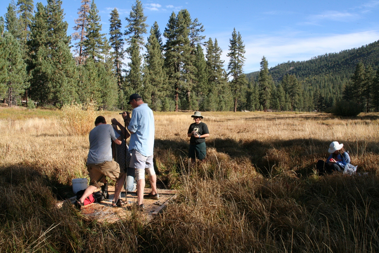
It’s been quite a while since I posted. Unfortunately, I’ve been spending most of my time away from technology and instead learning about paleoenvironmental research methods for my dissertation research.

Fortunately, a friend of mine just got an Android phone (whoop!!!!) and asked me what apps I suggest he install. No time better than the present to pull out my phone and take a look at the apps I use most often, and the ones I’ve installed but have yet to play with.

Geography apps (in alphabetical order) Continue reading “Android Geography Apps – My List”